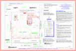
Topographic Survey
A topographic map (topo) is a drawing or representation of a part of the earths surface as it existed at a specific time. The map is drawn from a field survey from which data is collected. All natural and artificial man made features are documented and mapped. Such matters are boundary lines (cities, zone districts, property lines, rail roads, streets, pipe lines, buildings, vegetation, etc. etc.) The land itself is usually depicted by contour lines that represent elevations.